GIS Day is celebrated annually on the 3rd Wednesday of November, during the Geography awareness week, across the globe to provide an international forum for users of geographic information systems (GIS) technology to demonstrate real-world applications that are making a difference in our society.
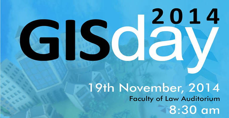
The Remote Sensing & GIS Lab (RS/GIS Lab) of the Department of Geography and Resource Development, University of Ghana has been hosting the GIS DAY celebration. This year’s GIS Day celebration, took place on November 19th 2014, at the Faculty of Law Auditorium, University of Ghana. The theme for this year’s GIS Day was ‘Developing the Ghana We Want through the Power of GIS’. COTVET/SDF, ILV Ghana, Sambus Geospatial, ESRI, CERCA Africa, Losamills Consult Ltd and Gadgets and Gear graciously assisted the RS/GIS Lab, in funding part of the event.
More than 500 people came out for the event. Present at the ceremony were, Minister of Environment, Science, Technology and Innovation of the Republic of Ghana, Honourable Akwasi Opong-Fosu, who gave the keynote address, Chief Director of the Ministry of Lands and Natural Resources, Prof. Bruce Banoeng-Yakubu, Provost of the College of Humanities, Prof. Samuel Adjei Mensah, Head of Department of Geography and Resource Development, Prof. George Owusu, Director of Remote Sensing and GIS lab, Prof. Paul Yankson, Personnel from security services, MDA’s and MMDA’s, private GIS and Survey companies, Students and faculty of University of Ghana and second cycle institutions in the country.
Prior to the main event, there were some warm – up activities such as the Community Crime Survey and Mapping, Treasure Hunt and Quiz Competition. The Community Crime Mapping was held on the 30th October, 2014, from 7:00am – 4pm at Tesano and Dansoman communities. About 80 people came out for the event, including University of Ghana Students, Ghana Police Personnel and some residents of Tesano and Dansoman. Participants were introduced to ArcCollector for collecting and geocoding crime incident data within their communities. Treasure Hunt and Quiz competition were held on 14th of November from 6:30am -12:00 noon and 12:30pm-5pm respectively on the University of Ghana Legon campus. For treasure hunt, a total of 17 students from the University of Ghana went to hunt for some hidden items using handheld GPS. The Quiz competition continued in the afternoon at J.H Nketiah Hall, University of Ghana, where about 200 people attended, including students and faculty from the University of Ghana and some invited Senior High Schools.
At the GIS Day event itself, prizes were awarded to winners and participants of activities held prior to the day. In his speech, the Hon. Minister, encourage the Department of Geography and Resource Development and all GIS practitioners to be aggressively innovative, and steadfast in the quest to impart and promote the knowledge and use of the state-of-art technologies of GIS as decision support tools for effective and sustainable exploitation and monitoring of our cherished natural resources not only for the present generation but also for posterity. This was followed by 5 presentations on the application of GIS including 3 undergraduate research works on mobile signal strength, flood risk assessment and what accounts for voting patterns in some electoral areas.
Furthermore, this year’s GIS Day event featured the commissioning of the EYE1 Data collector (a Drone) for the RS/GIS Lab which is to be used in teaching and research activities at the University of Ghana. Participants were also given ESRI GIS DAY souvenirs and other
GIS Day 2014 was a great success this year and we encourage everyone to come to the University of Ghana for next year’s event.